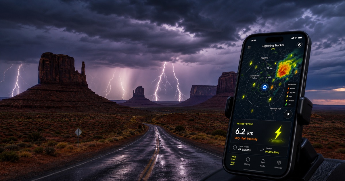
A thunder tracker displays recent lightning detections near a selected location. Lightning Tracker uses satellite instruments that detect optical flashes in clouds. Provider publication, server processing, network delivery, and browser refresh all add variable latency, so map points and alerts are not instantaneous.
Safety rule: if you hear thunder, go immediately to a substantial building or enclosed hard-topped vehicle. Do not wait for an app alert, map update, or distance estimate. Follow National Weather Service warnings, Wireless Emergency Alerts, and local authorities.
What a Thunder Tracker Tracks
A thunder tracker tracks lightning, not sound. NOAA GOES Geostationary Lightning Mapper instruments observe optical flashes from geostationary orbit. A displayed point represents a processed satellite detection, not necessarily a cloud-to-ground strike. Detection completeness and location precision vary with storm structure, viewing geometry, provider status, and processing.
For the science behind what the tracker shows, see our thunder vs lightning guide: lightning is the electrical discharge, while thunder is its sound.
Maps can provide useful situational context: where recent electrical activity was detected, how detections cluster, and whether activity appears to change over time. They cannot show where lightning will strike next or certify that an outdoor location is safe.
How to Read the Map
Detection time. Use point age to distinguish newer detections from older activity. Treat timestamps as observation data, not guaranteed delivery times.
Clusters. Dense clusters show areas where the satellite detected more optical lightning activity. Missing points do not prove absence of lightning.
Movement. Successive clusters may suggest storm movement, but use official radar, forecasts, and warnings for weather decisions.
Distance. Distance is calculated from your selected location to a detected flash. Satellite location precision varies. No distance threshold provides a safe outdoor zone.
See our lightning map guide and data methodology.
Alerts Are Supplemental
Phone alerts can draw attention to recent detected activity while you are not watching the map. Delivery can be delayed or prevented by provider latency, connectivity, operating-system settings, battery controls, or notification permissions. Alerts are supplemental information—not official warnings, forecasts, or an all-clear system.
Never remain outside waiting for an alert. Audible thunder means lightning is close enough to pose danger: seek shelter immediately. Follow official instructions for when outdoor activity may resume.
Thunder Tracker vs. Weather Radar
Weather radar measures precipitation and storm structure. A lightning tracker displays recent electrical activity detected by its provider. These datasets complement each other but have different limitations. Neither replaces official National Weather Service forecasts, warnings, or emergency alerts.
FAQ
How accurate is a thunder tracker?
Accuracy is not one fixed number. Coverage, detection efficiency, location precision, and latency vary by satellite view, geography, storm, and provider status. Use detections for context only.
Can no nearby detections mean it is safe outside?
No. A tracker shows processed observations of past flashes, not future strike locations. Missing or delayed detections are possible. If you hear thunder or receive an official warning, seek shelter immediately.
Can I view recent lightning near me?
Yes. Allow location access or search an area to view available recent detections. Coverage varies by region; review the methodology before interpreting gaps.
For situational context, open the live lightning map. For safety decisions, use official weather services and local emergency guidance.