Track real-time lightning strikes and thunderstorm activity across Florida.
Review recent optical-flash detections, map timestamps, and official warning links before making weather decisions.
58,425
detected flashes in last 24 hours
Last 7 days
381,576 detected flashes
Last detection
1 min ago
Updated
(just now)
Recent detections from
NOAA GOES East/West GLM. Florida. Provider and display latency vary; satellite markers are approximate optical-flash locations, not exact ground impacts.
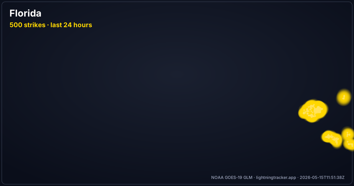
Server-rendered heatmap of Florida lightning activity in the last 24 hours.
Each gold glow is a flash detected by NOAA GOES East/West GLM. Updates every 5 minutes.
Map loading…
RECENT<1H1-6H6-24H
Bolts show recent NOAA GOES East/West GLM detections. Locations are approximate;
provider and display latency vary. Lime = newest, red = 1-6h, grey = older.
What the counter, heatmap, and map above are actually showing you
How many strikes in the last 24 hours?
The counter at the top of this page reports flashes detected across Florida in the
last 24 hours from NOAA GOES East/West GLM. It updates throughout the day; provider and display cadence and latency vary. It counts
satellite-detected optical flashes, so it is not a cloud-to-ground strike tally.
Where did they hit?
The heatmap renders the same 24-hour window as glow density, so you can see which part of
Florida carried the activity. Open the live map for individual flash markers and
timestamps, then a Tampa city page for local detail.
Recent GLM activity on this page is not historical state climatology. It shows a rolling detection window, with sensor coverage, provider processing, and map refresh limits.
For carefully scoped long-term context, read most lightning-prone states; for source and coverage limits, read the methodology. Do not use a quiet live map as a seasonal ranking or safety signal.
Recent GLM detections within a state are not a historical thunderstorm climatology. Use the live map for current context, then consult the source-scoped state guide and methodology before comparing places or periods.
Nearby States
Storms cross state lines. These are the closest state maps to Florida
Know where to shelter and follow official warnings when storms approach Florida
Follow the 30-30 Rule
If the time between seeing lightning and hearing thunder is 30 seconds or less, seek shelter. Stay indoors for 30 minutes after the last thunderclap.
Stay Indoors During Storms
Have a shelter plan before storms reach Florida. Avoid windows and stay away from plumbing while indoors.
Monitor Lightning Activity
Use Lightning Tracker for supplemental situational awareness near Florida. Follow official warnings and seek shelter immediately when thunder is audible.
Outdoor Safety
If caught outside, avoid open fields, hilltops, and isolated trees. Seek shelter in a substantial building or hard-topped vehicle.
Useful Guides for Florida
These pages help visitors who search for maps, nearby strikes, and alert setup
Fast answers for live maps, storm days, and lightning safety in Florida
Where can I see current lightning activity in Florida?
This page shows recent NOAA GOES East/West GLM optical-flash detections across Florida. Use official weather agencies for forecasts and warnings.
How many lightning strikes has Florida had in the last 24 hours?
The live counter on this page reports flashes detected across Florida in the last 24 hours by NOAA GOES East/West GLM. It refreshes throughout the day; provider and display cadence and latency vary. These are satellite-detected optical flashes, not a confirmed cloud-to-ground strike count, and the 24-hour heatmap shows where in Florida that activity fell.
What is the 30-30 rule for lightning safety?
The 30-30 rule states: if the time between seeing lightning and hearing thunder is 30 seconds or less, seek shelter immediately. Stay indoors for 30 minutes after the last thunderclap before going outside.
How can I track lightning in Florida in real time?
Lightning Tracker uses NOAA GOES East/West GLM (Geostationary Lightning Mapper) satellite data to display recent lightning activity across Florida. Premium can send push notification alerts for qualifying activity near a saved area; maps remain supplemental to official warnings.
Mobile app
Track Lightning in Florida Right Now
Download the mobile app for live alerts, then use the Florida hub, city pages, and lightning guides for local map and safety context.